
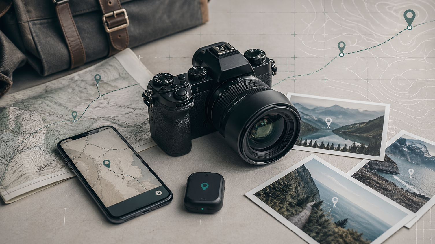
Geotagging has become a useful feature for many photographers who want to attach location information to their images. Whether the goal is better organization, travel documentation, mapping shoots, or preserving the exact place where a photo was taken, GPS data can add another layer of value to a picture. The good news is that photographers now have several camera-related options for geotagging pictures with GPS points, depending on their equipment, workflow, and level of precision they need.
One of the simplest options is using a camera with built-in GPS. Some cameras include this feature directly, allowing them to record location data automatically as photos are taken. For photographers who want a self-contained setup, this can be a convenient solution because it does not depend on another device. The image files can store latitude and longitude information in their metadata, making it easy to sort or search photos later by location. The downside is that built-in GPS can affect battery life, and not every camera model includes it.
Another common option is pairing a camera with a smartphone. Many modern cameras and companion apps allow the phone to provide GPS data while the camera handles the image capture. In this type of setup, the phone tracks location and passes it to the camera through Bluetooth or another wireless connection. This approach can be practical because photographers already carry a phone, and it avoids needing a separate GPS accessory. However, the reliability of the connection can vary depending on the camera brand, app quality, and how consistently the devices stay linked during a shoot.
Some photographers prefer using an external GPS receiver or accessory. These devices can either connect directly to the camera or record a GPS track separately during the shoot. Later, the track can be matched with the timestamps on the photos to add location data. This method can offer more control and can be especially useful for photographers who work in remote areas, spend long periods outdoors, or need more accurate tracking over time. It can also be a good option when the camera itself does not include GPS and the photographer does not want to depend entirely on a smartphone.
A more flexible workflow involves geotagging photos during post-processing rather than at the moment of capture. In this approach, the photographer records location data with a phone app or GPS logger and later syncs that track with the image files on a computer. Software can match the timestamps and insert the correct coordinates into the photos’ metadata. This method requires more steps, but it can work well for photographers who want more control over accuracy, editing, or batch processing large image sets after a trip or assignment.
The best option often depends on the type of photography being done. Travel photographers may value convenience and automatic location capture. Landscape photographers may prefer separate GPS logging for long outdoor sessions. Real estate, documentary, and field photographers may find geotagging useful for record-keeping and location-based organization. Casual users may simply rely on a phone-connected workflow, while professionals might choose a more dedicated setup to fit a larger archive process.
There are also privacy and practical considerations. Embedding GPS points into image files can be useful internally, but it can also reveal sensitive location information if the photos are shared publicly. Photographers should think carefully before publishing images that include precise coordinates, especially when the photos were taken at private homes, isolated locations, or places that should not be disclosed. Many editing tools and export settings allow location data to be removed when needed.
Battery usage is another factor. Built-in GPS and constant phone-to-camera communication can drain power faster during long shoots. External devices add another piece of gear to manage. Post-processing methods require careful time synchronization between devices. Each option solves one problem while introducing a few tradeoffs, so choosing the right approach is often about balancing convenience, accuracy, and workflow simplicity.
Geotagging is not essential for every photographer, but it can be extremely useful in the right situations. It helps create a clearer record of where images were taken, makes photo libraries easier to organize, and can add context that becomes more valuable over time. With built-in camera GPS, smartphone-assisted syncing, external trackers, and software-based workflows all available, photographers have several camera options for geotagging pictures with GPS points. The right choice depends less on the feature itself and more on how well it fits the photographer’s shooting style and day-to-day process.